




Before You Buy: What Owners Need to Know About Development Property
You’ve found a property that checks all the boxes: location, visibility and price.
Then you discover the sewer system lacks capacity, a portion of the site sits in the floodplain and the city requires a turn lane before issuing permits. Suddenly, the project budget looks very different.
By conducting thorough due diligence while you’re still evaluating the property, our multi-disciplinary team helps you understand the site’s development potential, identify constraints that could affect feasibility and account for costs beyond the purchase price.
Utilities Are Not Always Ready to Serve a Site
Nearby power lines or a sewer manhole don’t necessarily mean a property is ready for development. Access to water, sanitary sewer, stormwater infrastructure and electrical service requires evaluating both physical proximity and system capacity.
In many cases, main lines running along a property line lack the hydraulic capacity to serve a new commercial or residential load. Local authorities may require off-site utility extensions, lift stations or regional infrastructure upgrades before issuing building permits – and the cost and time required can materially change whether a site fits your plans.
Wallace’s civil site teams perform detailed utility capacity assessments early, coordinating directly with local municipalities to identify required infrastructure extensions before they derail your land entitlement timeline.
Site Conditions Dictate Development Costs
A property’s acreage tells only part of the story. Topography, natural drainage patterns, floodplain boundaries and soil conditions influence how much of the site can accommodate your project and the work required to make it suitable for development.
Topography & Grading: Steep elevation changes require significant earthwork balancing or expensive retaining walls.
Geotechnical Conditions: Unsuitable soils or shallow bedrock can drastically increase foundation costs and pavement section thicknesses.
Floodplain & Wetlands: Encroachments into FEMA floodplains or protected wetlands limit developable acreage and trigger lengthy permitting processes, such as Letters of Map Revision (LOMR).
Why an ALTA Survey Can Be Worth the Investment
For commercial real estate transactions, an ALTA/NSPS Land Title Survey can reduce uncertainty and provide valuable information to evaluate risk before making a significant investment.
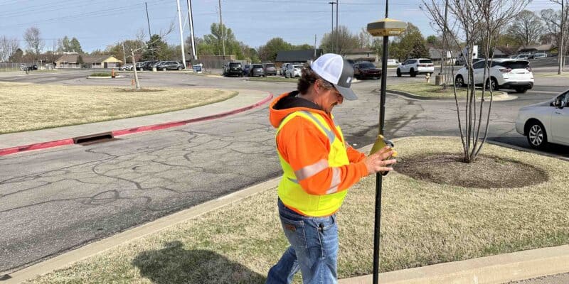
Unlike a standard boundary survey, an ALTA/NSPS Land Title Survey combines field survey information with title research to identify easements, rights-of-way, encroachments, access rights and other matters that may affect future development. Depending on the scope requested, the survey can also document existing improvements, utility features, parking areas and other site conditions.
For example, a recorded utility easement may cross the area you intended for a building, or an existing improvement may extend beyond the property boundary. Identifying these conditions before closing gives you time to evaluate their implications with your design and title teams.
An ALTA survey may be required by your lender or title insurer. Selecting the right survey scope, including optional information needed for preliminary site planning, helps make the investment useful beyond the transaction.
Easements and Access Limits
A property may offer the visibility you want without accommodating the access or layout your project needs. Existing utility easements, drainage corridors and access restrictions define where buildings and paved areas can actually be constructed. Furthermore, local transportation departments and municipalities regulate driveway locations, turning radii and traffic impacts. A site may require dedicated turn lanes, signalization or right-of-way dedications that reduce usable land area and alter project budgets.
Due Diligence Supports Better Decisions
The most useful due diligence connects the findings to your goals. Can the property accommodate your intended use? What improvements might be needed? How could those requirements affect your budget and schedule?
At Wallace Design Collective, our survey, civil engineering and land planning professionals work together to evaluate boundaries, easements, utility availability, zoning requirements and other site constraints. By connecting that information to preliminary development options, our integrated site selection services help you compare properties, evaluate trade-offs and decide how to move forward.
Questions Worth Asking Early
Is the site properly zoned for the intended use?
Zoning regulations determine how a property can be used and developed. Before purchasing a site, owners should verify that the intended use is permitted and understand any requirements related to setbacks, building height, density, parking or signage. If rezoning, variances or special use approvals are required, they can affect both project schedule and feasibility.
How much of the property is actually buildable?
A property’s total acreage doesn’t always reflect the amount of land available for development. Easements, setbacks, floodplains, wetlands, utility corridors, access requirements and topographic constraints can all reduce the usable area of a site. Evaluating these factors early helps owners understand how much land can realistically support buildings, parking, infrastructure and future growth.
Has utility capacity been verified?
Nearby utilities may not have the capacity needed to support a new development without upgrades or extensions.
What permitting or entitlement processes may be required?
Development projects often require approvals beyond a building permit. Depending on the site and jurisdiction, projects may need rezoning, site plan approval, platting, utility approvals, stormwater permits or other local and state reviews. Understanding these requirements early helps project teams set realistic schedules and identify potential challenges before design begins.
Has an ALTA/NSPS Land Title Survey been completed?
For many commercial property transactions, an ALTA survey can help identify easements, encroachments, access rights and other title-related matters that may influence future development plans.
Are there easements or access restrictions that could affect development?
Existing utility easements, drainage corridors, access agreements and rights-of-way can limit where buildings, parking and infrastructure can be located. Understanding these constraints early helps avoid conflicts later in design.
Are there known environmental concerns that could impact development?
Environmental conditions can influence both project costs and timelines. Depending on the property’s history and location, additional evaluations may be needed to identify concerns such as wetlands, floodplain impacts, protected species, underground storage tanks or potential contamination. While Wallace does not provide environmental consulting services, we regularly coordinate with qualified environmental professionals as part of the due diligence process.
Ready to Evaluate Your Next Property Purchase?
Site issues discovered after closing can be costly to address. Understanding utility availability, site constraints, regulatory requirements and development limitations early, while you’re still evaluating a property, helps you make informed decisions about its development potential, budget and timeline.
Wallace’s civil engineering, surveying and land planning teams regularly work together to connect site feasibility findings to your development goals. Contact our team at info@wallace.design to discuss your next property purchase and the due diligence needed to move forward.